Coblinine Nature Reserve
by admin · April 1, 2021
Location Details
Scroll to bottom of page for images and posts
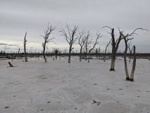
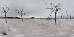
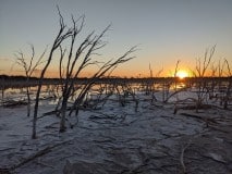
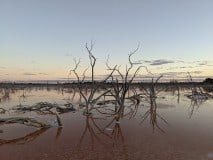
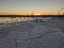
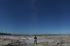
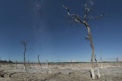
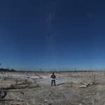
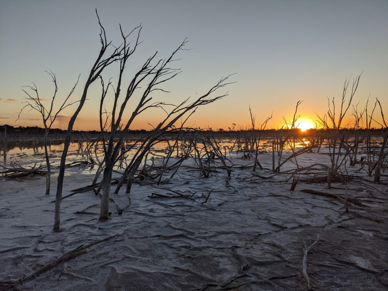
Coblinine Nature Reserve is an area featuring a typically dry and complex lake / river system located near Katanning - deep in the wheat belt region. The reserve offers multiple variations on a common theme - dry, salt beds with varying densities of dead trees rising up from the white salt. There are many places to explore, although the gravel roads to access the reserve do not penetrate far and some walking will be required to get to some of the great spots.
Summary Info
CATEGORY: Lake
RATING: Good
ACCESS: 2wd, good gravel roads
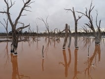
FEATURES: Large dry (usually) lake / river region featuring dead trees, salt beds and "orange" water in places.
CONSTRAINTS: Access to some areas may require a bit of walking. Some driving trails are overgrown. When wet the lakes tend to be very muddy.
SUMMARY: This region offers many variations on a common theme of dry lake areas with some featuring dense dead trees rising from the salt laden lake / river beds.
Google Maps
Access to the reserve typically is via short, gravel tracks. I advise making a stop at the local town of Katanning (about 3 hours from Perth) and then heading out to the reserve which is about 15 minutes east of the town. Head out during the day and allow a few hours to go exploring, as there are many opportunities around that may take a bit of walking to get to.
I've been to the region at the beginning of autumn when there hasn't been much rain. Potentially the area could get quite wet and muddy after heavy rain - so be warned. Even during the summer there are small patches of standing water. Approaching these the ground turns muddy and boots are essential. However, some areas of water are very orange in colour and look quite striking in contrast to the white salt beds surrounding them.
There is faint Telstra mobile coverage over most parts of the reserve.
Posts of Location

